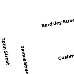
0005 CUSHMAN STREET
Owner Information
BRODEUR CAROLYN RUTH
5 CUSHMAN STREET
ACUSHNET, MA 02743


Property Details
0005 CUSHMAN STREET is classified as a Two-Family Residential (Multi-grdn).
The primary structure on this property was built in 1945. There are 1,671ft2 of built area within this property. There is 1,671ft2 of residential/living space within this property. This property is listed as having 8 rooms. There are 2 units within this property.
0005 CUSHMAN STREET is valued at $252,200. The land is valued at $76,500 and the structures are valued at $175,400. There is an additional valuation of $300 on this property.
The most recent deed for 0005 CUSHMAN STREET is recorded at the local registrar in Book 13688, Page 21. 0005 CUSHMAN STREET was last sold on Friday, March 5, 2021 for $338,000.
Assessment data from fiscal year 2021.
Flood Data
According to the FEMA National Flood Hazard Layer, this property does not appear to be in a flood zone. It may also be in an area not yet reviewed. Nonetheless, confirm this information prior to taking any action.
To view the flood hazards around this property, create a FEMA "Firmette" Map of the area around 0005 CUSHMAN STREET.
Broadband Internet Providers
| Provider | Type | Bandwidth (mbps) | |
|---|---|---|---|
| T-Mobile | Fixed Wireless | 25 | 3 |
| VSAT Systems, LLC. | Satellite | 2 | 1 |
| Comcast | Cable | 1000 | 35 |
| HughesNet | Satellite | 25 | 3 |
| Viasat Inc | Satellite | 35 | 3 |
| GCI Communication Corp. | Satellite | 0 | 0 |
| Verizon New England Inc. | DSL | 10 | 1 |
Broadband service provider data from December 2020.
Adjacent Properties
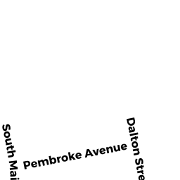
- 0144 SO. MAIN STREET
General Office Buildings owned by UMME LLC - 0150 SO. MAIN STREET
Eating and Drinking Establishments - restaurants, diners, fast food establishments, bars, nightclubs owned by A&M FAMILY LIMITED PARTNERSHIP - 0072 HOPE STREET
Single Family Residential owned by DASILVA BRANDI J - 0007 CUSHMAN STREET
Church, Mosque, Synagogue, Temple, etc... owned by VICTORY BAPTIST CHURCH